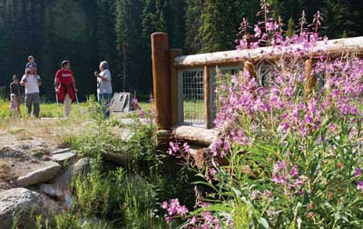
Trailhead Signs
People have made it clear that they want information about trails, including length, grade, and so forth, so that they can make their own decisions about which trail is appropriate for the amount of time they have available, the people in their group, and the type of hike they are interested in pursuing. Therefore, when new information signs are provided at trailheads for newly constructed or altered trails, include at minimum the following information:
-
Trail name
-
Length of the trail
-
Type of surface on the trail
-
Typical and minimum trail tread width
-
Typical and maximum trail grade
-
Typical and maximum trail cross slope
-
Height of any major obstacles, such as boulders, in the trail tread
-
A statement that posted information reflects the condition of the trail when it was constructed or assessed, including the construction or assessment date
The requirement for posting the construction and trail assessment date is because tree blowdowns, flooding, or other events can make trails designed and constructed to FSTAG standards temporarily inaccessible until maintenance crews can clear the obstruction. If the date is posted, people will be able to evaluate the likelihood that the trail remains in the posted condition. For instance, people may know that a major storm has occurred since the conditions were posted or may estimate the likelihood that vegetation may have overgrown the trail since the condition was evaluated.
Where more extensive trail information such as an aerial map of the trail and related facilities is provided, identify the location of specific trail features and obstacles that do not comply with FSTAG's technical requirements and include a profile of the trail grade.
If materials, such as maps, brochures, fee envelopes, and so forth, need to be obtained from or filled out at a sign or kiosk, design the sign or kiosk to display the materials within the standard reach ranges of a person in a wheelchair in accordance with ABAAS, section 308, as explained in "Reach Ranges and Operability Requirements" of this guidebook.
Locate trailhead information signs centered at the back of a 30- by 48-inch (760- by 1,220-millimeter) -minimum clear floor or ground space. Do not allow the clear space to overlap the trail width but it may overlap a resting space or passing space. The slope of the clear space is not allowed to be more than 1:20 (5 percent) in any direction.


User Comments/Questions
Add Comment/Question