The National Geographic Talking Tactile Atlas of the World
Published: September 25, 2015 at 8:09PM
(Also requires: A Talking Tactile Tablet “TTT” unit).
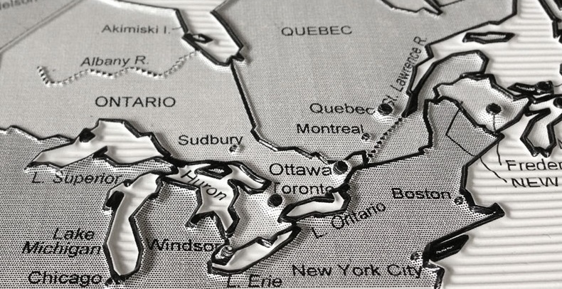
"The Atlas allows individuals who cannot access printed material to explore maps and learn about the geopolitical world. Users place one of the raised line, textured and color printed map sheets on the TTT, and then press on various regions and points to hear human-voice identifications of each feature."
Click here to read more about Touch Graphics.
User Comments/Questions
Add Comment/Question